Raster Export
Posted: Fri May 15, 2020 10:52 am
hi,
I just started my adventure with cloud compare and I have two problems:
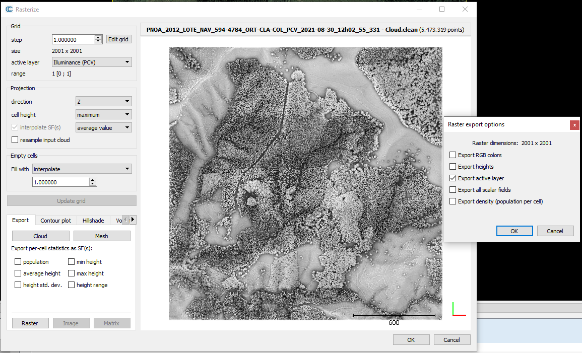
1. I'm trying to export scalar field as a raster but without any luck.
I used distance tool to measure the distance between point cloud and plane. Now I've got a color map with distances nad I'd like to export it as a raster. I tried to use rasterize tool, but I can export my point cloud only in RGB or with average heights.
2. Also is there any way to change units (from meters to centimeters) and view it on color scale?
I would appreciate any help.
Best regards,
Adrianna
